Enterprise-grade aerial deliverables.
Every engagement is scoped around your downstream use case — the report, the model, the marketing asset, the inspection record. We deliver the data your team actually needs.
Drone Photography
High-resolution commercial imagery for marketing, real estate, and editorial use. HDR and print-ready files.
- Commercial / marketing
- Luxury real estate
- Print-ready HDR
Cinematography
8K professional-grade aerial cinema w/ centimeter-level RTK positioning, Netflix approved camera & delivery processing.
- 8K CINEMA
- RTK FIXED
- PRO-GRADE EXPORTS
Roof Inspections
Visual and thermal roof assessments for insurance, storm damage, and commercial roofing.
- Insurance claims
- Storm damage
- Commercial roofs
Construction Monitoring
Weekly flights, monthly reports, time-lapse, and stakeholder updates.
- Weekly captures
- Time-lapse
- Developer reporting
Aerial Mapping
Orthomosaics, elevation models, terrain models, area and volume calculations.
- RTK orthomosaics
- DEM / DTM
- Volumetrics
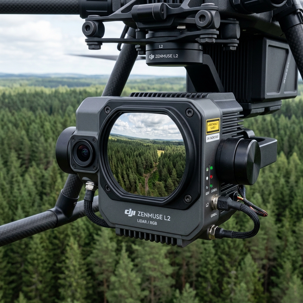
LiDAR Surveying
Bare-earth terrain profiles, canopy height models, and ground-penetrating point clouds for engineering and mining.
- Bare-earth DTM
- Canopy CHM
- Engineering LAS
Thermal Imaging
Radiometric thermal capture for roof moisture, electrical systems, solar arrays, and SAR support.
- Roof moisture
- Electrical / solar
- Search & rescue
Infrastructure Inspections
Bridges, communication towers, water tanks, industrial facilities, and powerlines.
- Bridges & towers
- Powerlines
- Industrial assets
Pipeline Inspection
Airborne methane and hydrocarbon leak detection along Alaska's pipeline corridors with gas-sniffing payloads.
- Methane mapping
- CH4 / VOC sensors
- Remote corridors
Wind Turbine Inspection
Close-proximity blade inspection at Kodiak, Fire Island, and remote Alaskan wind farms.
- Leading-edge erosion
- Delamination scan
- Lightning strike
Search & Rescue Support
Thermal grid search, night operations, and live downlink for SAR teams and fire departments.
- Thermal grid search
- Night operations
- GPS subject marking
Survey Support
RTK workflows, ground control, GIS-ready exports, and CAD deliverables for survey teams.
- RTK / GCP
- GIS exports
- CAD deliverables
Not sure which service fits?
Tell us about your project and we'll recommend the right mission profile and deliverables.
Request a Quote →