Classified Debrief · MSN_LOG // LIDAR-09
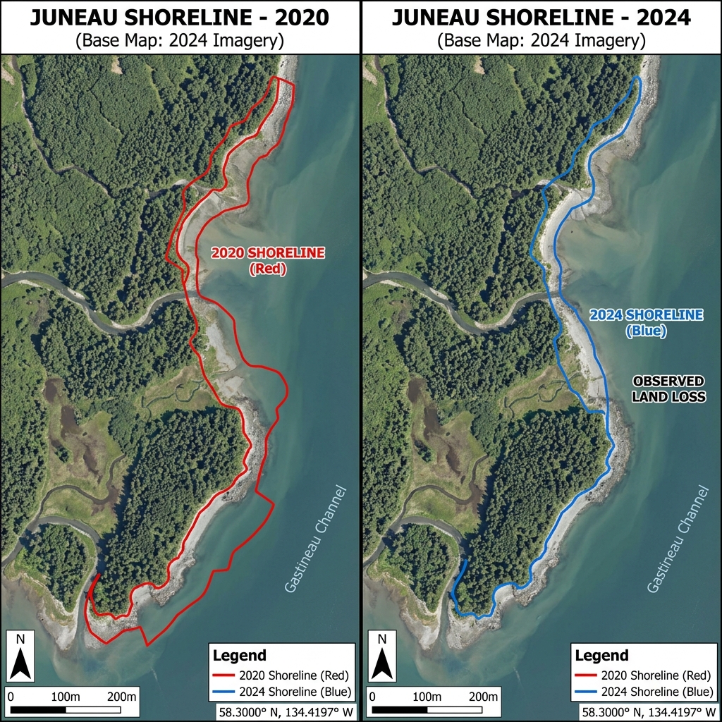
Homer Spit Coastal Erosion.
Seasonal shoreline erosion tracking
TARGET_COORDS // 59.6025° N, 151.4144° W SYSTEM_ACTIVE // LINK_OPT
01 / OBJECTIVE
Map the spit shoreline topography before winter storms to measure seasonal sediment volumes washed away from rock breakwaters.
02 / SOLUTION
Flew standard coastal flight lines at low tide with high-density laser sweeps. Filtered visual seaweed and drift grass out using LiDAR multiple return algorithms.
03 / OUTCOMES
Mapped 4.2 miles of spit shorelines, identifying sediment loss profiles of 120 cubic yards along the southern breakwater wall for target municipal maintenance.
Mission debrief file
LOG_PARAMETERS
LOCATION Homer Spit, AK
COORDINATES 59.6025° N, 151.4144° W
TERRAIN TYPE Sandy gravel beach spit, coastal breakwaters
FLIGHT TIME 95 Minutes airtime
WEATHER PROFILE High fog, 9m/s wind, 4°C
AIRCRAFT RENDER DJI Matrice 350 RTK
PAYLOAD/SENSOR Zenmuse L2 LiDAR Sensor
EXPORTS GENERATED Bare-Earth DTM, seasonal slope comparison delta profile
DEBRIEF_DECLASSIFIED // ACCESS_GR
RAW LOG METRICS DOWNLOAD_AVAIL
Next Step Operations
Scope a mapping or inspection mission
Get fixed pricing and dispatch flight schedules dynamically for your parcel coordinates.
Start Flight Planner